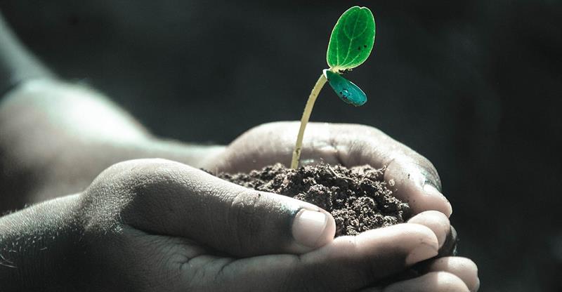
SOIL SAMPLES WILL BE ANALYZED TO DETERMINE NUTRIENT LEVELS, SOIL TEXTURE, ELECTRICAL CONDUCTIVITY AND PH.
 In a bid to improve Saint Lucia’s agricultural productivity, the Government of Saint Lucia was part of the 2015 Caribbean Soil Fertility Mapping project which sought to establish a database with updated information regarding the availability of fertile soil in Saint Lucia, along with five other islands.
The project is being carried out by the Kingdom of Morocco.
While the project was delayed for some time, the Coordinator, Luke Emanuel, said the project is back on stream.
“We had to accelerate the project which was a little bit behind when I came in October 2018. To expedite the process, we got on the ground immediately in January 2019, and as we proceed, we’re informing the farmers and the public at large of what’s taking place.”
Soil samples will be collected from agricultural grades which are cultivated and will form part of the soil fertility map. The project is expected to benefit Saint Lucia in terms of food security, local employment and human resources. According to Emanuel, it will also enhance the country’s chances of exporting food internationally.
“At the end of that initial exercise all the samples will be processed and analyzed to determine the levels of the various micro and macro nutrients, as well as the soil texture, electrical conductivity and the pH,” Mr. Emmanuel said. “When all is said and done, what we are going to have is a soil fertility map which will be uploaded unto a website which will be available to the general public.”
The Kingdom of Morocco is considered the leading agricultural investor in the world.