TROPICAL STORM DORIAN COULD BE NEAR HURRICANE STRENGTH BY TUESDAY.
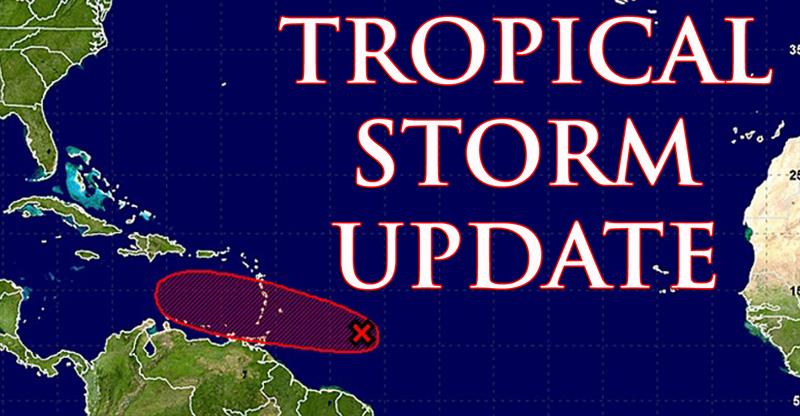 At 5 a.m. today, the center of Tropical Storm Dorian was located near latitude 11.9 degrees north, longitude 56.4 degrees west or about 335 miles or 540 kilometers east-southeast of Saint Lucia.
Maximum sustained winds are near 60 mph or 95 km/h, with higher gusts. Slow strengthening is forecast during the next few days, and Dorian could be near hurricane strength by Tuesday. Tropical-storm-force winds extend outward up to 45 miles or 75 kilometers from the center.
Tropical Storm Dorian is moving towards the west or 280 degrees at 14 mph or 22 km/h. A turn toward the west-northwest is expected later today, with this motion continuing through Tuesday night. On the forecast track, the center of Dorian is expected to pass near Saint Lucia late today into tonight, and move into the eastern Caribbean Sea by on Tuesday.
A Tropical Storm warning remains in effect for Saint Lucia, Barbados and Saint Vincent and the Grenadines. A Tropical storm watch is in effect for Dominica, Martinique and Grenada and its dependencies.
Dorian is expected to produce total rain accumulations of 2 to 4 inches (51 to 102 mm), with possible isolated maximum amounts of 6 inches (152 mm). Residents and motorists in areas prone to flooding and landslides are advised to take all necessary precautions.
Swells generated by Dorian will be affecting portions of the Lesser Antilles by later today. Small craft around Saint Lucia are strongly advised to remain in port. Residents are also advised to stay away from the beaches.
Repeating the 5 a.m. position of Tropical Storm Dorian, latitude 11.9 degrees north, longitude 56.4 degrees west or about 335 miles or 540 kilometers east-southeast of Saint Lucia.
The next advisory will be issued at 8 a.m.