AN APPROACHING TROPICAL WAVE IS EXPECTED TO BEGIN AFFECTING THE REGION DURING THE NEXT 24 HOURS.
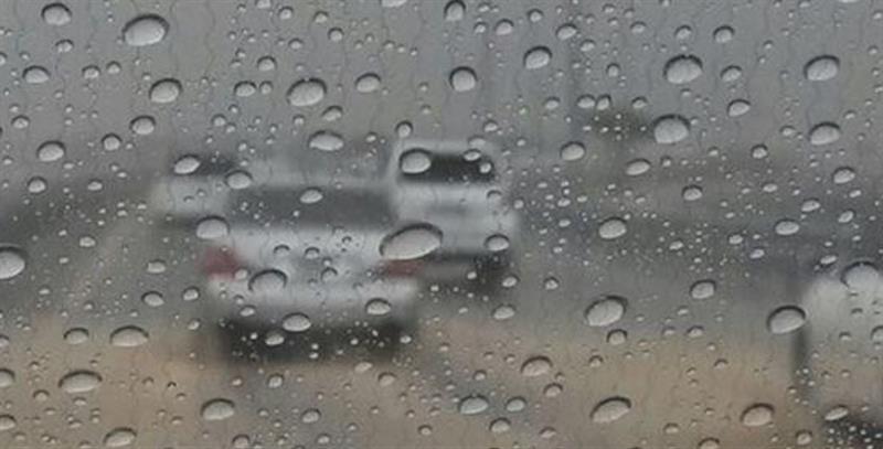 Moisture and instability ahead of a tropical wave will continue to cause periods of cloudiness, scattered showers and isolated thunderstorms over the Lesser Antilles during the forecast period.
An approaching tropical wave east of the Lesser Antilles is expected to begin affecting the region during the next 24 hours. The wave is moving westward near 15 mph or 24 km/h and will generate increased cloudiness, gusty winds, scattered moderate to heavy showers and thunderstorms over our region during the next 24 to 48 hours. A third tropical wave located over the eastern Tropical Atlantic is also moving westward near 15 mph or 24 km/h.
Forecast for Saint Lucia valid for the next 24 hours
Today, partly cloudy, breezy and hazy becoming cloudy at times with some scattered showers and a chance of isolated thunderstorms. Tomorrow, generally cloudy with scattered moderate to heavy showers and isolated thunderstorms.
Residents and motorists in areas prone to flooding and landslides should be vigilant and exercise caution.
Marine forecast for seas in a 25 mile or 40 km radius from Saint Lucia
Tides for Castries Harbour: High at 3:07 pm...Low at 8:47 pm. Tides for Vieux Fort Bay: High at 4:14 pm...Low at 10:14 pm. Seas: Moderate to locally rough with waves and northeasterly swells 5 to 8 feet or 1.5 to 2.4 metres.
Small craft operators and sea bathers are advised to exercise caution due to reduced visibility, brisk winds and rough seas.
Forecast for the Lesser Antilles: Partly cloudy to cloudy skies with scattered showers and isolated thunderstorms.