Patriots are called to put Saint Lucia on the map in celebration of its 37th Anniversary of Independence.
 Saint Lucia’s first ever Mapathon was launched on Jan. 19.
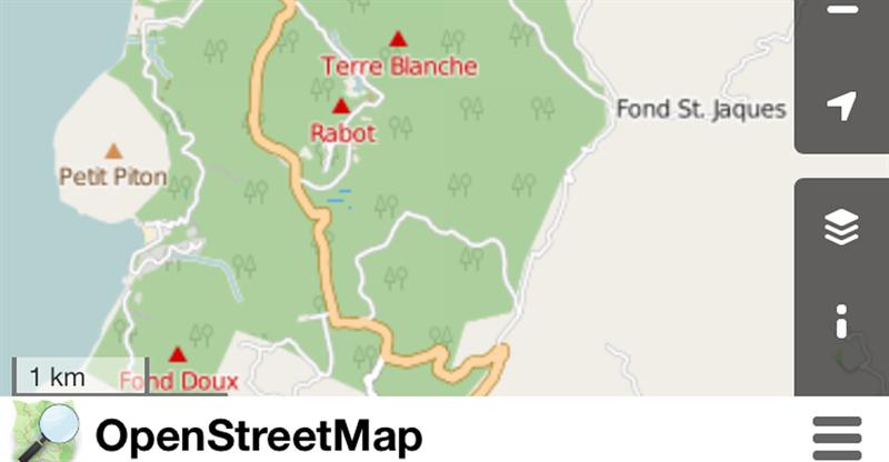
The event, dubbed “Map Saint Lucia,” encourages participants to engage in mapping projects of economic and social value for Saint Lucia via openstreetmap.org.
The collaborative and interactive exercise will provide a better understanding about the island’s landscape, while improving the discoverability of places and communities islandwide.
The Mapathon will also demonstrate how technical innovators and entrepreneurs can use mapping data for national development.
“Map Saint Lucia” is being held under the auspices of the Ministry of the Public Service, Information and Broadcasting as one of the activities commemorating Saint Lucia’s 37th Independence Anniversary. It will mobilize mappers from all walks of life around the sub-theme “It’s our Journey, let’s map it together.”
Speaking at Tuesday’s launch, Minister for the Public Service, Information and Broadcasting, Sen. Hon. Dr. James Fletcher said the event is a significant component of government’s open data program.
“Government is notorious for collecting, developing, and accumulating data and keeping that data to itself. This open data initiative is extremely important as it allows us to capture that data, but even more importantly to make that data available to everyone. [The Mapathon] really is an opportunity to allow the people of Saint Lucia to map their country.”
Dr. Fletcher noted the non-existence of a structured street naming system in Saint Lucia and that people have historically relied on using landmarks such as like trees, buildings, and residents’ names when giving directions.
“There are many activities that I have been involved with at the Ministry of the Public Service Information and Broadcasting, and the Ministry of Sustainable Development, Energy Science and Technology and most have been informative; but this is fun and exciting, as well as necessary, educational, and transformational. We are giving everybody an opportunity to map every nook and cranny so that we can have in the very shortest possible space of time, a comprehensive map of Saint Lucia, its public and private assets, and those resources which could be of benefit to the entire country,” Dr. Fletcher added.
The Mapathon will include, among other activities, presentations by experts on mapping; and an introduction in the use of an online royalty-free geo-data tool and basic mapping skills. Individuals and teams will work on various mapping projects that will be judged. Winners will be announced and prizes awarded.
To participate in the Mapathon, register via the Government of Saint Lucia Open Data Portal. Mappers are not required to have any specific expertise or skill in mapping.
Interested persons can also engage via Facebook, Instagram and Twitter @SaintLuciaGov using #MapSaintLucia.
“Map Saint Lucia” will culminate on Feb. 28. with an exhibition and full day of activities to be held between the Derek Walcott Square and the National ICT Centre on Bourbon Street, Castries, from 9 a.m. - 5 p.m.