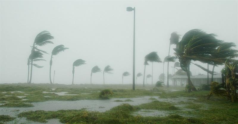
THE SYSTEM WILL PASS NORTH OF THE LEEWARD ISLANDS, PUERTO RICO.
 Moisture and instability associated with a trough system and a tropical wave will continue to generate some cloudy spells with showers and isolated thunderstorms over the Lesser Antilles during the next 24 hours.
An area of disturbed weather located over the north eastern Caribbean islands is expected to bring cloudy conditions, heavy showers, thunderstorms and gusty winds to those islands during the next 24 hours. Environmental conditions are forecast to gradually become more conducive for the development of this system into a tropical or sub-tropical cyclone by the middle of this week. The system will move westward to west-northwestward for the next few days, passing near or north of the Leeward Islands, Puerto Rico, Hispaniola, and the Southeastern Bahamas.
Showers and thunderstorms over the Lesser Antilles are expected to increase in frequency tomorrow, while Saint Lucia can expect showers and a chance of thunderstorms mainly during the afternoon and night.
12 p.m. weather report. November 13, 2018.