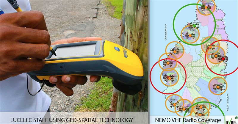
GEO-SPATIAL DATA DESCRIBES OBJECTS, EVENTS, OR OTHER FEATURES WITH A LOCATION ON OR NEAR THE SURFACE OF THE EARTH.
 Both private and public sector interests are excited for the implementation and use of geo-spatial data to enhance national and business processes. In Saint Lucia, the system incorporates the use of Geographic Information Systems and the National Spatial Data Infrastructure (NSDI).
NSDI is described as technology, policies, standards, criteria and human resources required to coordinate and promote the sharing of geo-spatial data throughout the public and private sector, academia and non-governmental organisations. Geo Spatial data is information that describes objects, events, or other features with a location on or near the surface of the earth.
Agricultural Engineer in the Ministry of Agriculture, Joel Ramine, explains that the ministry uses drone technology and imagery to process and assess geo spatial data.
“We collect drone footage for plant analysis and for pre disaster and post disaster assessments, like the flash floods we experienced a few days ago,” he said.
The data can also be used to determine what crops should be grown and where.
“As you know, our island has varying elevations, so when we get an idea of the entire area for a project which may be 100 acres for example, if we fly the entire 100 acres we can decide what crops can can handle steep slopes, what areas can be allocated for livestock, where the water sources are what areas are prone to flooding or landslides.”
Mapping Supervisor of the Central Statistical Office, Sherma Smalls, sees potential for the combination of census data and geo spatial data.
“We will have a map that we can use to identify every building on the island and we are able to link our census information to every building on the island and coming out of that we are going to aggregate it to higher level. We are going to be able to extract from those businesses, we are going to be able to extract from that residential use with different industries, create different zones. One of the things we also do following our census we are also able to identify new communities that have sprung up and allocate some pseudo boundaries for these areas. “
The public can view the technology at work, in person during the GIS and NSDI Showcase scheduled from Wednesday, November 16 to Friday, November 18 at the Baywalk Mall.